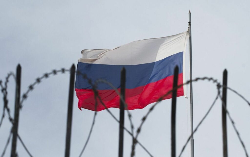
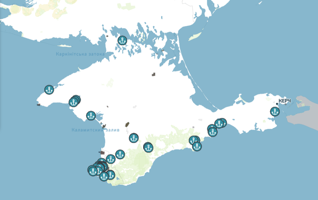
A map of the objects of the Black Sea Fleet of the Russian Federation in Crimea appeared on the network
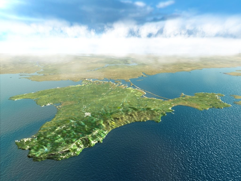
Journalists published a map of Russian military facilities in occupied Crimea.
The exact location of the military infrastructure of the occupiers in the occupied Crimea became known. There are a total of 223 active, temporary and preserved military facilities. It became known from a joint розслідування investigation by the journalists of “Krym.Realiya”, “Scheme”, “Radio Liberty” and RFE/RL’s Central Newsroom.
In particular, the coordinates of 58 objects of the Black Sea Fleet of the Russian Federation are indicated. So, there are at least 10 naval bases of the occupiers, 8 bases of ships and boats, 3 shipyards and one dock complex on the peninsula.
On a more detailed map, you can also see weapons warehouses, military units, command headquarters and duty stations of air defense equipment.
Earlier, the Minister of Defense of Ukraine, Oleksiy Reznikov, emphasized the necessity to de-occupy the peninsula in order to guarantee safety and freedom of navigation in the Black and Azov seas.
