“Rosatom” representative at IMO session showed map of Russia with occupied territories of Ukraine
20.01.2026 - 14:33
A representative of the Russian state nuclear energy corporation Rosatom used a map with invalid borders of Russia in a presentation.
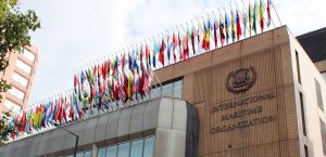
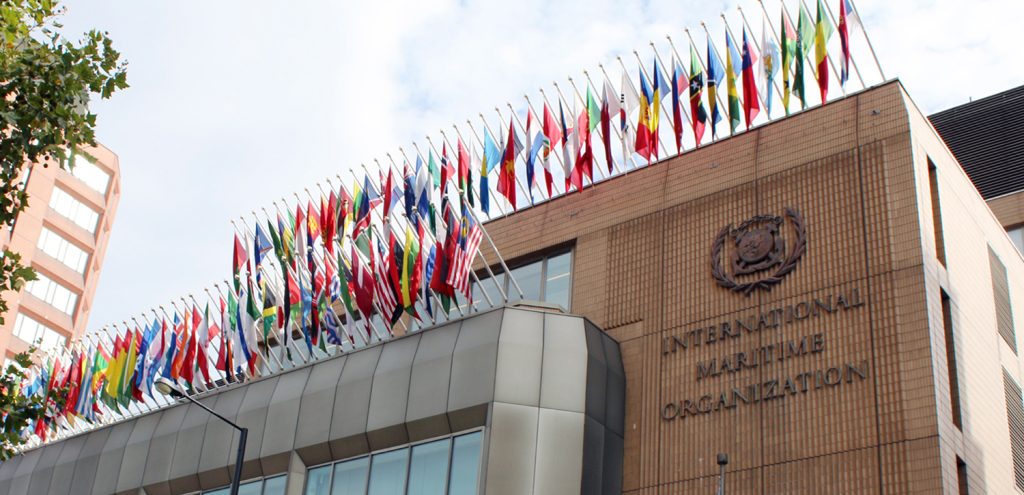
The incident occurred on the sidelines of the 12th session of the Subcommittee on Ship Design and Construction of the International Maritime Organization (IMO) said the head of the Shipping Administration, Mykola Kravchuk.
He added that the State Service for Maritime and Inland Water Transport and Shipping of Ukraine strongly condemns the use of a map with invalid borders of the Russian Federation in the presentation “Aspects of Safety Regulation of Ships with Nuclear Reactors and Floating Power Units,” delivered by the Rosatom representative.
As confirmed by the UN General Assembly, as well as IMO resolutions A.1183(33) and MSC.519(106), the Autonomous Republic of Crimea, the city of Sevastopol, Donetsk, Zaporizhia, Luhansk and Kherson regions, together with their internal waters and territorial sea, are an integral part of the sovereign territory of Ukraine.
Any attempts by Rosatom to change their internationally recognized status during the Russian armed aggression against Ukraine — by displaying false maps, seizing the IR-100 research reactor in Sevastopol, or conducting unauthorized, extremely dangerous activities at the Zaporizhia nuclear power plant — are null and void, the department noted.
The Shipping Administration is convinced that technical discussions on the use of alternative fuels in merchant shipping should not take place at the cost of peace, global nuclear safety, and the fundamental principles of international law.
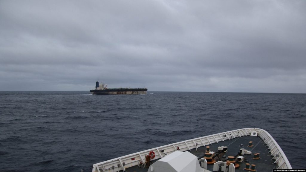
USM previously reported that the Ukrainian Foreign Ministry and the IMO discussed the growing activity of Russian tankers subject to sanctions.