The Russian Federation has banned shipping in the Kerch Strait
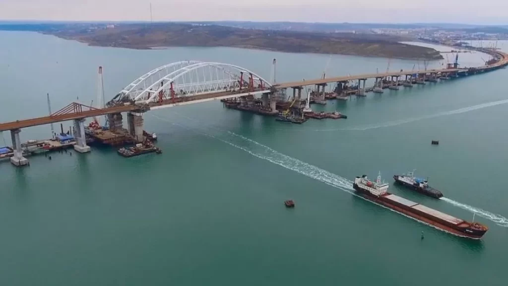
The invaders published the coordinates of the areas of the Kerch Strait prohibited for navigation.
On February 8, the Russians issued an order prohibiting shipping in certain areas of the Kerch Strait. The information appeared in rosZMI only recently.
Territories closed to shipping are located in the zone of the main gas pipeline “Krasnodar Krai – Crimea”.
The document specifies the coordinates of areas in which sailing of all types of vessels is prohibited (small, sailing, sports, watercraft, passenger, leisure, cargo, auxiliary fleet vessels, bunkerers, tugboats). Exceptions are boats, vessels and ships of the Russian National Guard, the Ministry of Internal Affairs of Russia, the Navy and the border service of the FSB of Russia.
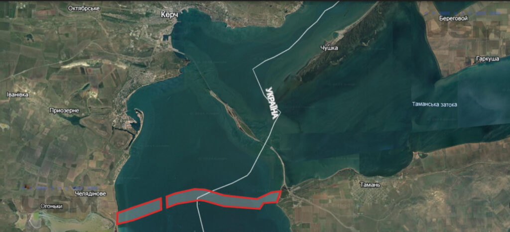
So, on the Crimean Peninsula side, the prohibited area for swimming is limited by segments of straight lines connecting the points in order:
1. 45°11’19” north latitude and 36°24’22” east longitude;
2. 45°12’02” north latitude and 36°27’29” east longitude;
3. 45°11’27” north latitude and 36°27’31” east longitude;
4. 45°10’56” north latitude and 36°25’29” east longitude;
5. 45°10’45” N latitude and 36°24’20” E longitude and further along the coastline connecting points No. 5 and No. 1.
On the side of the Taman Peninsula, swimming is prohibited, limited by segments of straight lines connecting holes with coordinates:
1. 45°12′25″ north latitude and 36°36’10” east longitude;
2. 45°12′21″ north latitude and 36°35′29″ east longitude;
3. 45°12’01” north latitude and 36°34’27” east longitude;
4. 45°12’11” north latitude and 36°32’06” east longitude;
5. 45°12’28” north latitude and 36°30’41” east longitude;
6. 45°12’30” north latitude and 36°29’57” east longitude;
7. 45°12′17″ north latitude and 36°28′33″ east longitude;
8. 45°12’08” north latitude and 36°27’55” east longitude;
9. 45°11’34” north latitude and 36°27’57” east longitude;
10. 45°11’45” north latitude and 36°28’39” east longitude;
11. 45°11’57” north latitude and 36°30′17″ east longitude;
12. 45°11’55” north latitude and 36°30’38” east longitude;
13. 45°11’38” north latitude and 36°32’03” east longitude;
14. 45°11’28” north latitude and 36°34’22” east longitude;
15. 45°11’30” north latitude and 36°34’39” east longitude;
16. 45°11’50” north latitude and 36°35′53″ east longitude and further along the coastline connecting points #16 and #1.
Previously, USM wrote that partisans discovered ammunition depots of the Black Sea Fleet of the Russian Federation in Crimea.
Also, as USM wrote, in Russia, the launch of the terminal for the export of ammonia in the port of Taman has been postponed to the second quarter of 2024.
